Unmanned aerial vehicles (UAVs, or commonly referred to as drones) are usually associated with law enforcement or military activity, and often receive negative attention across the media.
However, over the past few years they have proven to be a useful asset to wildlife conservation.
The idea of using drones for conservation emerged back in 2011, when two conservationists, Lian Pin Koh and Serge Wich, were studying the challenges of wildlife conservation in Southeast Asia.
Previously, helicopters were used for aerial wildlife monitoring, however this method created many problems; expense, disturbance to wildlife, and danger towards staff are among the challenges from this conventional approach.

Lian Pin and Serge built a prototype drone which flew over 30 missions, resulting in thousands of images and clear video footage of wildlife and forestry – this is considered the first time for an amateur drone to be used for research in tropical rainforests.
Following this success, Lian Pin and Serge co-found ConservationDrones.org to share their experiences with the public, and to provide guidance for building drones.
Since then, drone technology has become the forefront of crucial conservation projects. To fight illegal poaching, WWF trialled the use of drone technology across Africa and Asia.
Fitted with cameras, the footage provided by the drones meant poachers could be spotted from above which in turn, helps the rangers and law enforcement prevent successful poaching.
One of the biggest environmental issues is plastic. It is predicted that the rate of plastic entering the oceans will increase up to approximately 80 million metric tonnes per year by 2025.
Drone technology is being used to survey marine litter across coastlines providing scientists, policy makers and the public standardised data to understand the problem of plastic, and monitor the success of any interventions in place.

More recently, research by Zoological Society of London uses drones to monitor impacts of tourism on protected areas.
This is achieved by examining the areas commonly used by tourists and observing the impacts such as trail condition, any disturbances to vegetation, and littering. Using drones for this reduces the time spent manually logging this data and provides high-quality, high resolution imagery which can be applied as a baseline to measure any future impacts of tourism on protected areas.
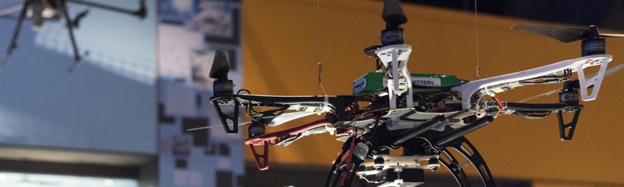
Autonomous flying drones are among the thought-provoking objects found in the Science Museum’s exhibition Driverless: Who is in control? where you can gain unique glimpse into the AI-driven tech that could shape the habits, behaviour and society of tomorrow.
The free exhibition runs until 5 January 2021, with free admission tickets for the Science Museum available online.